Skip to content
Shared Experiences
Sharing Experiences, Information and Photography (info@sharex.nl)
Amateur Radio
Aviation
Hiking
Drenthe
Flevoland
Fryslân (Friesland)
Gelderland
Groningen
Limburg
North-Brabant
North-Holland
Overijssel
South-Holland
Utrecht
Zeeland
Holidays
Holiday – Short Stay
Holidays- Long Stay
Motorbiking
Trips – Short stay
Trips – Long stay
Motard
Daytrips, tours
Various
Home
Hiking in NL
Hiking
Page 8
Category:
Hiking
2020 10 10 Quarry Winterswijk
2020 10 09 Winterswijk Dottinkraede
2020 10 07 Korenburgerveen, Winterswijk
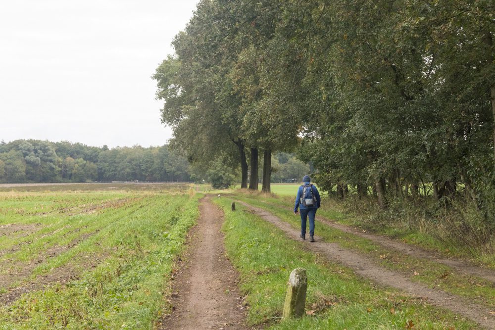
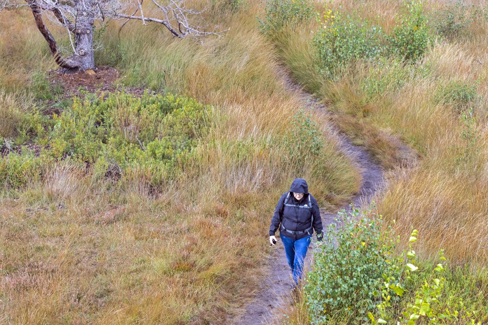
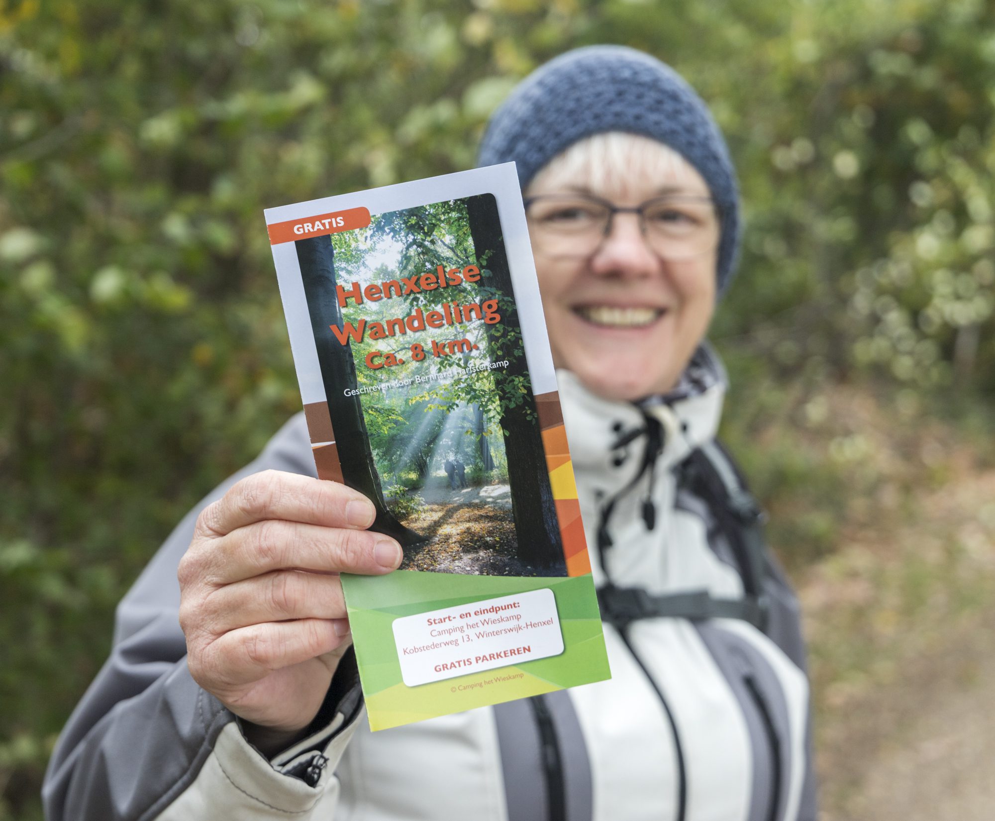
2020-10-05 Winterswijk, Henxelse (wandel)route
2020-09-13 Hoogerheide, route Fazant
2020-08-02 Maashorst, Nistelrode, Kanonsbergroute
2020 10 12 WINTERSWIJK Leemputten
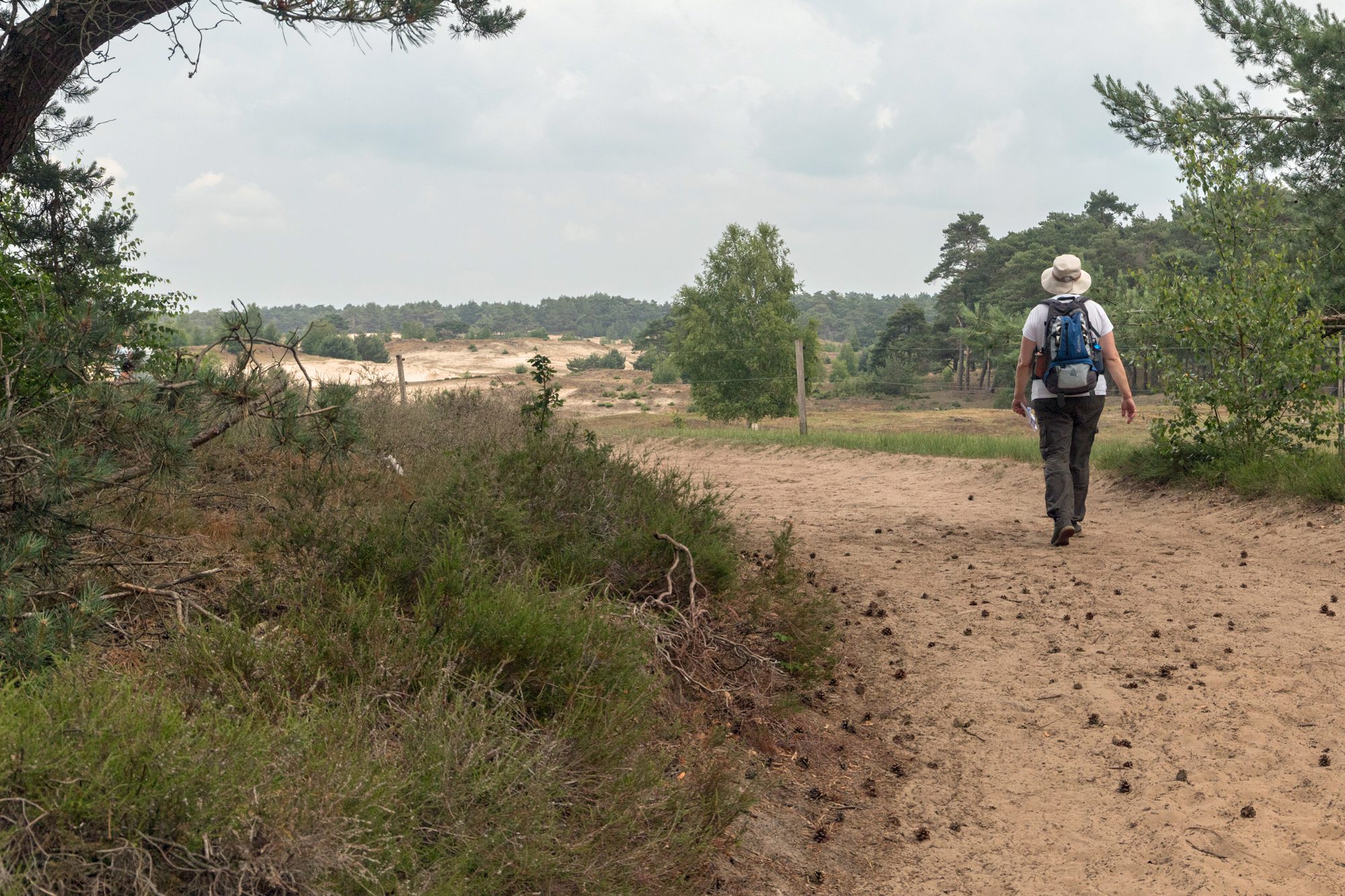
2020-06-14 Wekerom
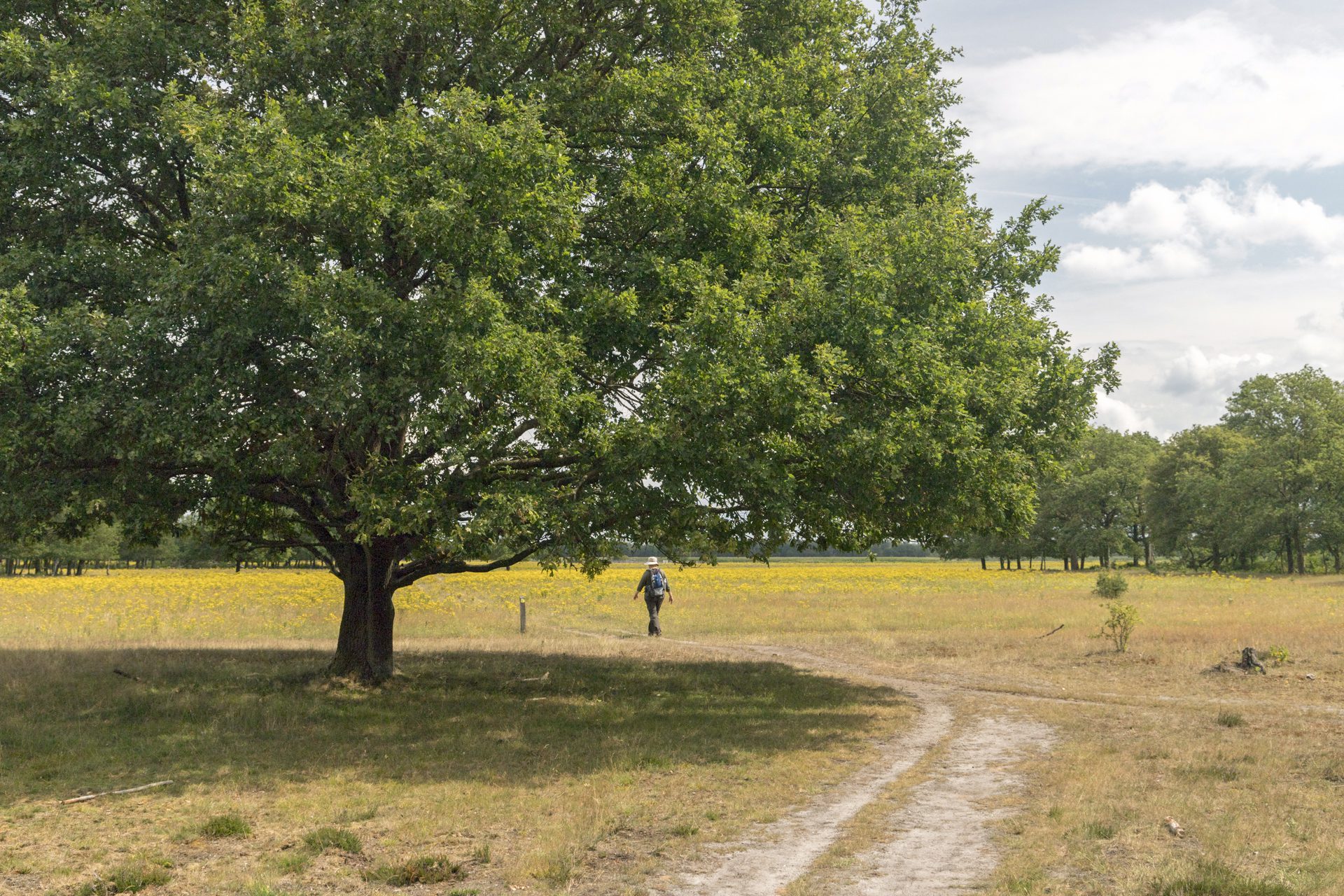
2020-06-12 Dwingelderveld
Posts navigation
Older posts
Newer posts